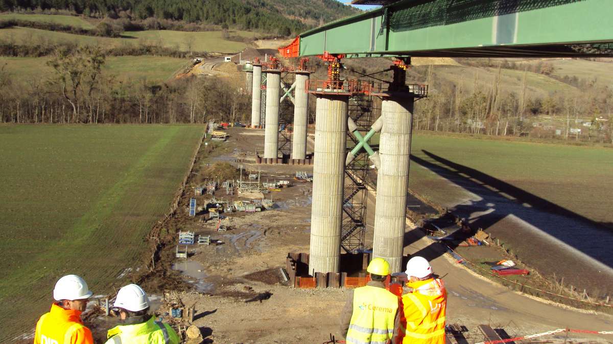
After the Morandi Bridge collapsed in Genoa in 2018, the French government ordered an unprecedented survey of France’s bridges, led by the public resilience agency, Cerema.
It was a daunting task.
France has more than 36,000 road authorities responsible for as many as 100,000 bridges, but no national inspection programme to survey local bridges.
Cerema had only six months to prepare and 18 months to carry out the entire census.
“Such a massive programme requires a dedicated information system,” said Thomas Plantier, Cerema’s director of digital transformation.
Cerema coordinated 250 agents from 30 different contractors over a two-year period that finished last year.
They set up ongoing communication with the 11,500 participating municipalities.
The data challenge
Cerema staff and contractors had to be able to enter data, including location and images, while in the field and possibly offline.
In the office, they needed a database, a public map, and a health diary of each bridge and its associated retaining wall.
Cerema gave crews access to Esri’s ArcGIS Survey123, a mobile GIS app for phones or tablets.
“The survey included about 150 questions for each type of structure, and there was also the 12-page health diary that required a lot of conditionality management,” Plantier said.
In total, the team of 250 field agents surveyed 45,000 of France’s bridges and retaining walls. Office staff created interactive dashboards using ArcGIS to display inspection progress and results.