For many years Andres Construction Services, a Dallas, Texas firm that manages major commercial and institutional projects, hired a helicopter company to capture aerial images of its construction sites.
These images looked great, and were good for marketing, but as a tool for detailed project monitoring, they were weak.
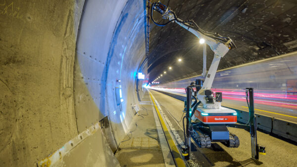
Now Andres uses drones, with AirMap’s JobSight software.
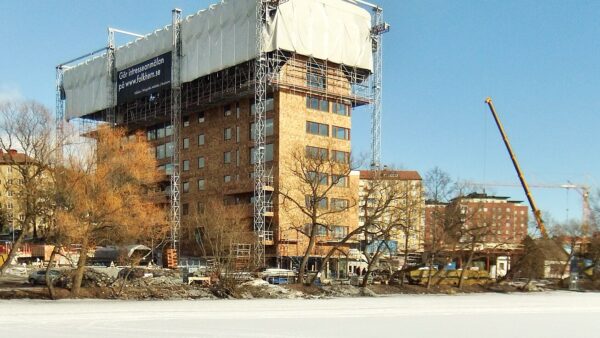
With high-resolution, 360º photos, the company captures precision data for detailed site awareness.
High-precision orthomosaics let them remotely measure distance, area and volumes, and monitor progress to keep clients informed.
Already the firm has saved $10,000 by detecting that the piers of one building were laid out to be drilled in the wrong place – without managers having to leave their desks.
- AirMap held a webinar on 15 April 2020 detailing how contractors can use its JobSight software with drones in order to gain project visibility, reduce re-work, and improve margins. You can now watch the webinar here
The problem with the helicopter-borne photographer’s images was that they didn’t capture the exact same images from the same angle at regular frequencies, which meant that they didn’t provide full construction site visibility or reliably measure change over time.
Plus, they had to be manually organised and processed, a time-consuming exercise.
With JobSight, the Andres team can capture images at critical stages during the construction process, including prior to pouring concrete.
By capturing pre-pour data, they could maintain site visibility and look beneath the surface even after concrete was poured.
John Andres, the third generation of the family to work at the firm, said JobSight has been a powerful way to track all their projects in the state, offering clients unprecedented quality assurance value-add, and creating a comprehensive system of record.
“Every week we capture the same images from the same angles,” he said. “With JobSight, we can peel back the layers on a building, see that progression, and know that things were done right along the way.”
Image: With high-resolution, 360º photos, the company gets precision data captures for detailed site awareness (AirMap)