Engineering company Atkins, part of the SNC–Lavalin Group of Canada, is to continue to provide floodplain mapping services for the North Carolina Division of Emergency Management for the next three years.
The contract, which will have a price ceiling of $30m, supports the state’s preparedness and resiliency to water and non-water hazards.
Atkins will continue work in the following areas:
- Redevelopment plans for nine counties in the wake of Hurricane Matthew
- Rainfall runoff modelling and dam inundation analyses for more than 500 dams
- Floodplain modelling and mapping maintenance for six counties
- Programme management for rain-on-grid, two-dimensional modelling and river basin mitigation studies
- On-call support for state emergency operations centre activation
- Independent quality review of riverine modelling in nine counties.
In addition, Atkins will conduct emergency preparedness and response services such as improvement to the State Emergency Response Application and the Flood Inundation Mapping Alert Network.
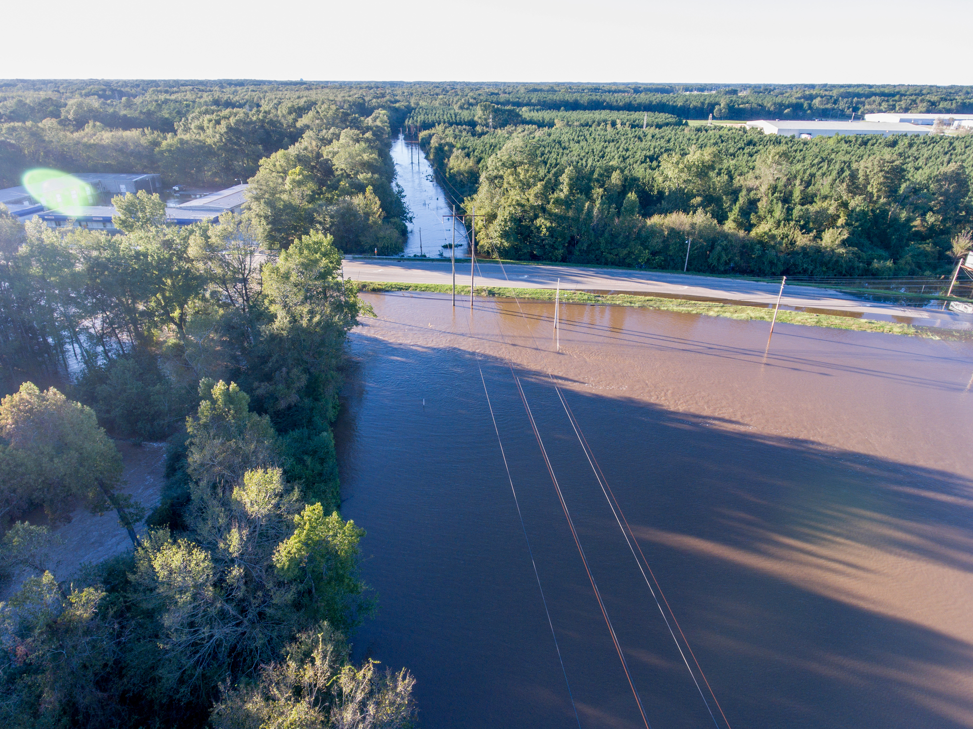
North Carolina was affected by Hurricane Michael and Hurricane Florence, both of which swept over the state in 2018.
George Nash, Atkins’ chief executive, said: “Our work on this project began more than six years ago, starting with programme management support and continuing with our floodplain mapping services.
“Bringing cost-effective solutions and customised, automated tools like City Simulator and Rapid Floodplain Delineator, we are committed to helping North Carolina become more prepared and resilient to natural disasters.”
Further Reading: