A smart city is planned for a former US Naval airfield 19km south of Boston, Massachusetts.
Union Point will be located near the towns of Abington, Rockland and Weymouth and will contain 4,000 private residences, 6,000,000 sq m of open space and 930,000 sq m of commercial space.
The project is developed by real estate firm LStar Ventures and designed by two local firms, Sasaki and Elkus Manfredi Architects.Â
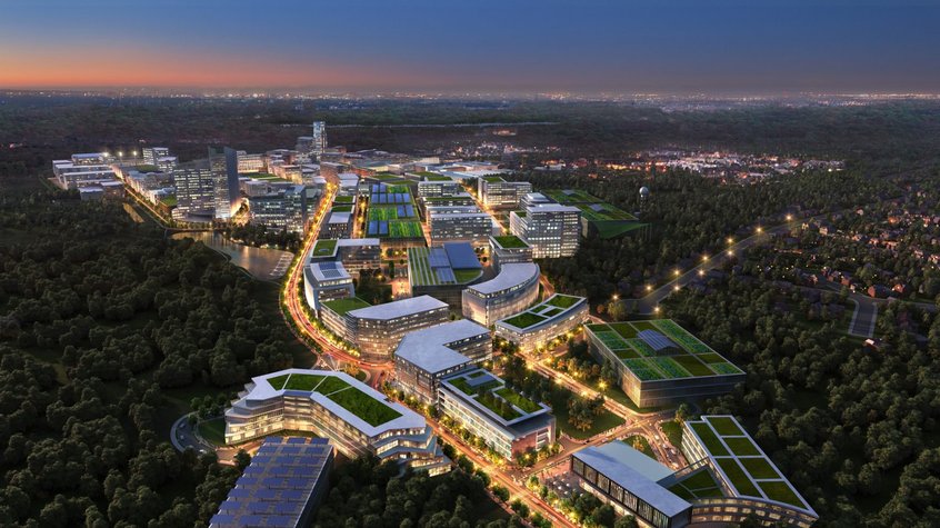
Aerial View of Union Point’s North Gateway (Elkus Manfredi Architects)
Those behind the development say that as Union Point is being built from the ground up it will be easier to turn into a smart city, commenting: “Union Point will support all facets of life in one destination that inspires innovation and integrates technology, living, and social systems with long-term environmental, economic and social sustainability.
“The result will be a community that combines active living with ‘smart city’ design to offer the advantages of urban density in a supremely liveable environment.”
Union Point will be built with autonomous vehicles in mind, and will contain parking for driverless cars and multiple bicycle highways.
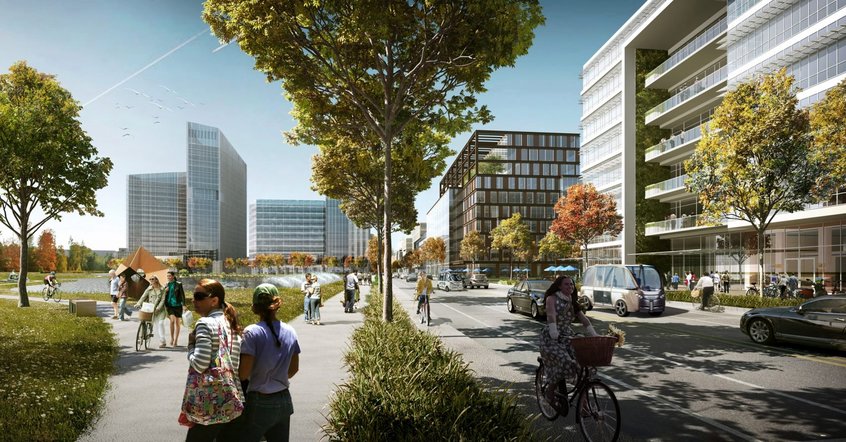
Parkway view entering Union Point’s Discovery District from East Gateway (Elkus Manfredi Architects)
Downtown Union Point will have a commuter rail station run by the Massachusetts Bay Transportation Authority, with a ride to taking Boston taking 20 minutes.
Union Point will be located on the South Weymouth Naval Air Station, a former blimp base which closed in 1997.
It is unclear when the project will be completed, but work on 300 residential units and a 25-acre sports field are under way, and phase one of the development will include the conversion of the existing airplane hangar into a public space.
Top image: Aerial View of Union Point’s Uptown Waterfront District (Elkus Manfredi Architects)

