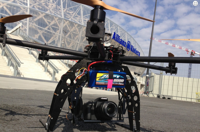
French construction giant Vinci is looking to increase the ways that drones can be used to gather information with more safety and less effort than would otherwise be possible. So far, a growing number of subsidiaries have come up with ideas to exploit the potential of the unmanned reconnaissance vehicle. Â
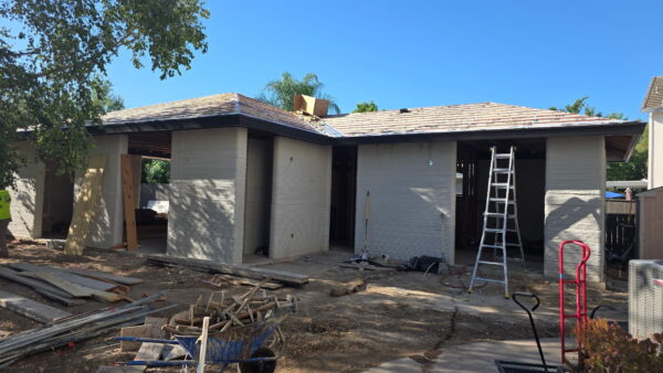
Vinci Construction uses drones in its building work to increase the frequency and accuracy of work assessment and keep an eye on the state of its building sites. They also carry out measurements in areas that are difficult to access, and can be used to ascertain the maintenance needs of high-rise structures. Â
This way of putting eyes in the sky reduces the need for operatives to work at height, which is the principal danger on a construction site. They can also minimise the danger of electrocution. Omexom, the Vinci subsidiary that handles electricity grids, is using helicopter-style drones to observe the condition of pylons and insulator chains. They provide a quick, inexpensive way to form an initial visual assessment that avoids the need for a lineman to climb every structure, with all the attendant risks.
(Vinci)
Visual cameras can be replaced with other sensing equipment, depending on the work that is being carried out. In the electrical example, infrared sensors can detect if a section of the grid is overheating. They can also be used to fly around a high-rise building to perform a thermal audit.Â
At Vinci’s road-making Eurovia subsidiary, drones are used in quarries to carry out topographic surveys and measure the likely reserves of the aggregate that is being extracted. Â
Another subsidiary, Nymphea, uses underwater drones, more commonly known as remote survey vehicles (RSV). These can carry out a number of tasks in many kinds of difficult environments. They are able to manoeuvre by means of propellers, or can attach themselves to a surface with a vacuum sticker and move around on caterpillar tracks. They can assess the condition of structures such as bridge caissons, either with visual cameras, or if there is low visibility, with acoustic devices that measure the extent of corrosion on metal structures. They are able to transmit data over distances that can exceed 5km.
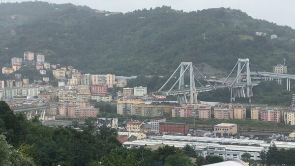
Vinci Autoroutes uses drones that hover about 100m above the ground and builds up a 360 degree picture of the landscape along a particular road. The idea is to enable clients to see themselves from above, which they can do by linking to the drone’s cameras with their mobile phones or tablet computers. They can then use the image for whatever purpose they wish, such as taking videos or researching the area. So far, the service has being trialled along the A10 autoroute, at the towns of Noirt and Poitiers.  Â
Read more here.Â
Researchers in Germany use drones that minutely inspect high-rise buildings. Road-builders in the UK are using drones as a surveying tool to capture detailed images of the construction path.